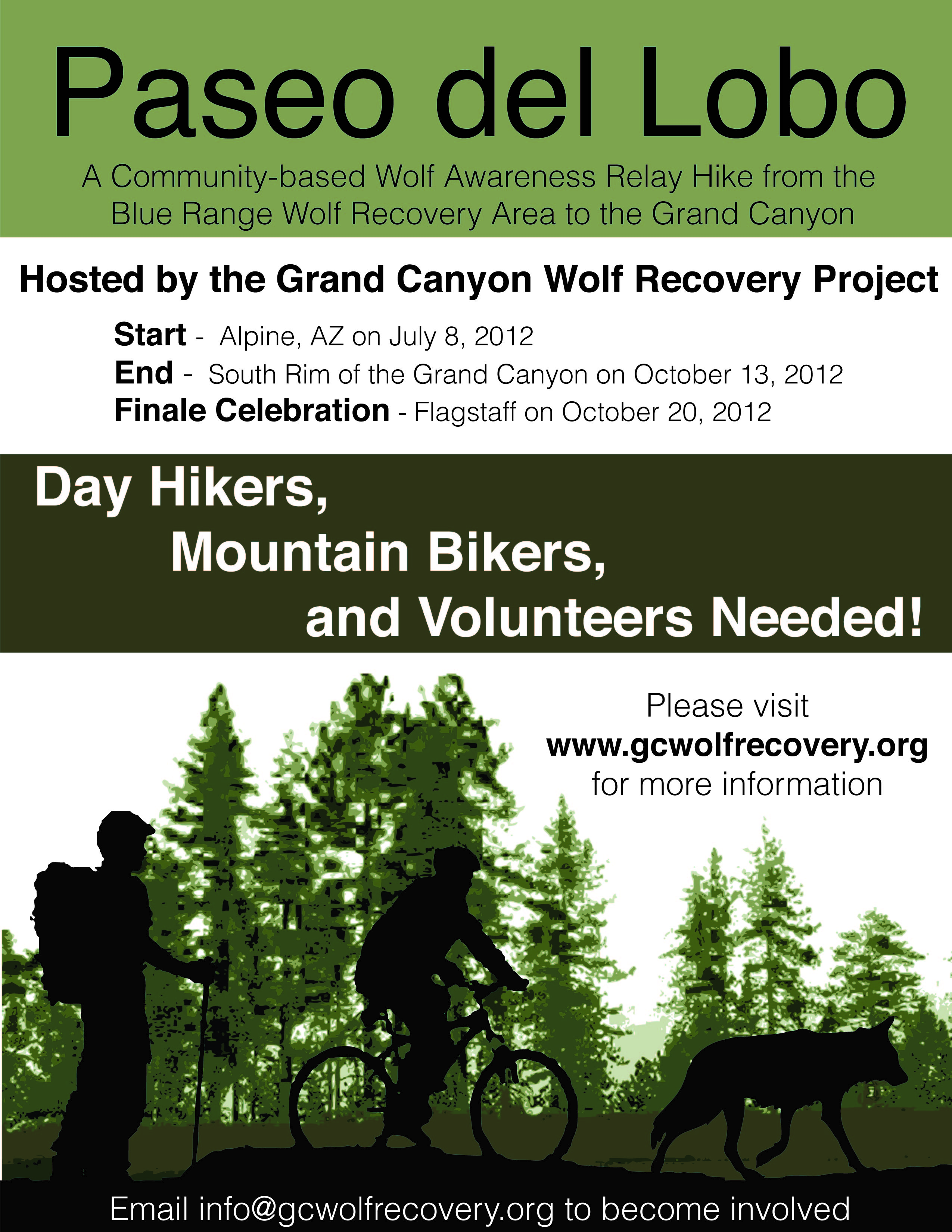
 Volunteers needed to hike, bike, join trail support teams, or help with special events!
Volunteers will be expected to serve as a positive spokesperson for Mexican wolf recovery, sharing your photographs and video experiences of the trail!
We will provide participants with a detailed map of their section, overview maps of the area, GPS unit with the trail track loaded, a first aid kit, satellite phone (for emergency uses), a digital camera, and hand-held video camera. We will meet hikers or bikers at the trail head each morning at 9 am (unless another start time is pre-arranged and confirmed) and volunteers will meet you at the end of the trail section each afternoon for a shuttle back to your personal vehicle at the trail head.
Join Today
Volunteer Registration -- Volunteer Release Form
All participants who would like to hike or mountain bike a section of the trail must provide their own transportation to the trail head, back pack, food, water, and personal equipment and supplies needed for a day on the trail. If you chose to use your own camera, we ask that you share your digital photos with us at the end of the day. All volunteers will be required to sign a Volunteer Release form in order to participate that states you are physically capable of hiking or biking a section(s) of the trail and that you are covered by a health insurance plan for medical emergencies. If you choose to sign up for multiple sections and prefer to backpack or camp overnight, you may do so on your own with your own camping equipment in accordance with local camping regulations and at your own risk.
Questions? Email us at This email address is being protected from spambots. You need JavaScript enabled to view it. or call (928) 202-1325.
Paseo del Lobo relay maps
{rss uri=https://picasaweb.google.com/data/feed/base/user/113284424907327602547/albumid/5762227487809883793?alt=rss&kind=photo&hl=en_US limit=1 service=Picasa servicetype=multiple}
Please note that the elevation trail profiles on the detailed sections maps are compressed into a box, and may appear more extreme than they really are over the length of the trail. Please look at the elevation change in feet in the left axis of the profile graph to get a better sense of the terrain difficulty for each section.